While Los Cabos still recovers from the effects of tropical storm Javier, the region will have to get ready for a new storm that’s in the Mexican Pacific. Local meteorologists had predicted last week that another tropical depression was forming in Pacific waters apart from the aforementioned tropical storm Javier that passed through Los Cabos over the weekend. This storm is predicted to become at its worst a category two hurricane, and Los Cabos may very well be the hardest hit tourist destination in Mexico.
At 10am Pacific time on Sunday the National Water Commission (CONAGUA) which is one of the government bodies that monitors storms and relevant weather phenomena in Mexico reported that a tropical depression had formed 223 miles south of Acapulco. The storm is expected to follow a northbound path up the Mexican Pacific coast. By midday on Monday the tropical depression is expected to reach tropical storm status with 35 to 45 mph winds.
As it moves up north the storm, which is already slated to receive the name Kay, is projected to increase in size potentially becoming a category 2 hurricane. CONAGUA has already warned that heavy rains are expected in other popular tourist destinations along the Mexican Pacific coastline in the coming hours. A spokesperson for the commission mentioned,
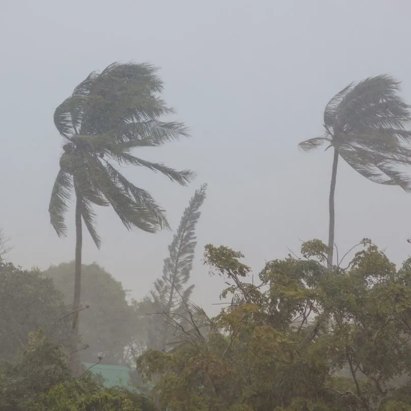
“We are projecting heavy rainfall up to extremely heavy rainfall over entities in the central region of the country. With even worse conditions in the west, and southwest coast cities. Expect strong winds, and high waves in the coasts of Jalisco, Colima, Michoacan, Guerrero, and Oaxaca.”
Conditions Expected To Be Worse In Los Cabos
Although CONAGUA has yet to issue an official warning over the conditions that can be expected in Los Cabos over the coming days it did release a visual of the storm’s expected trajectory. CONAGUA is predicting that the storm will become a category 1 hurricane by the early hours of Tuesday. At that time the storm will still be closer to coastal cities in Jalisco such as the popular Puerto Vallarta.
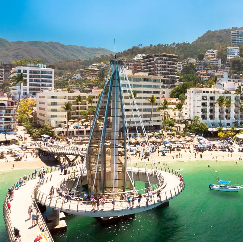
According to the projections when the storm is expected to reach its peak as a category 2 hurricane the closest port will in fact be Los Cabos. The storm is expected to reach category 2 hurricane status on Wednesday, September 7th. At that time it should be located 242 miles southwest of Los Cabos. As the storm inches closer to Cabo shores on Thursday it should downgrade to a level one hurricane, and continue its northbound path that will cover basically the entire Mexican Pacific coastline.
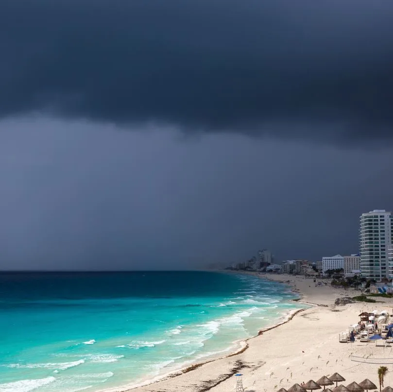
What The Upcoming Storm Means For Travelers Visiting Los Cabos
The National Water Commission urged tourists and locals to remain vigilant and follow the directives that will be set in place by local authorities. CONAGUA issued a very general warning to vessels that were planning to sail from ports in the Mexican Pacific. As the storm approaches it’s likely that port authorities in Los Cabos will begin by prohibiting smaller vessels from leaving the Cabo San Lucas marina, and other docks. As conditions worsen, restrictions should naturally increase. Tourists trying to include a fishing or snorkeling experience into their Cabo vacation may very well have to take a rain check on that particular activity.
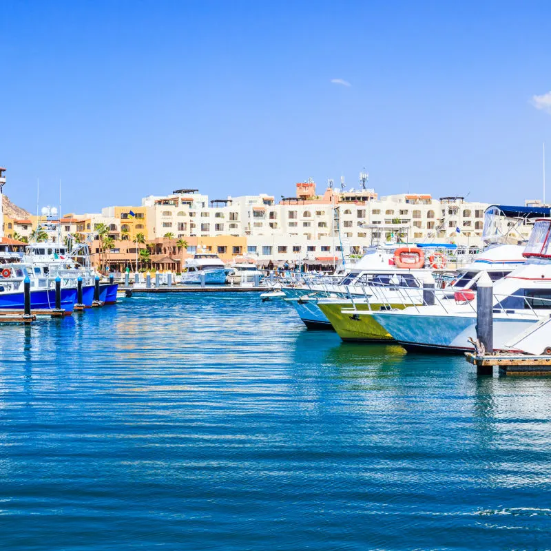
As far as air travel goes there have been no cancellations reported for flights coming into or out of the Los Cabos International airport. Just a few late departures have occurred on the first day of the week. These issues don’t seem to be weather related. As the storm approaches things could change, and it’s a good idea to track outgoing and incoming flights if you plan to travel soon.
