
Here at The Cabo Sun, we’re keeping a close eye on the Pacific—and yes, your Cabo plans can absolutely still be great this week with a little smart planning.
Tropical Storm Kiko formed this morning far offshore, and while it’s not an immediate threat to land, it will funnel deep tropical moisture toward Baja California Sur that could mean on-and-off rain for more than a week.
What we know about Kiko right now
As of the 11 a.m. PT (1500 UTC) advisory, Kiko is centered about 1,045 miles (1,680 km) west-southwest of Cabo San Lucas with sustained winds near 40 mph (65 km/h), moving west around 9 mph.
The National Hurricane Center expects strengthening over the next couple of days with no coastal watches or warnings in effect for Baja. Translation: this is a moisture story, not a direct-hit story.
Local forecasters say the storm’s outer moisture feed should run September 2–11, with periods of showers and a few heavier bursts. Models show Kiko tracking generally parallel to the peninsula, well offshore, but close enough to keep the humidity train running.
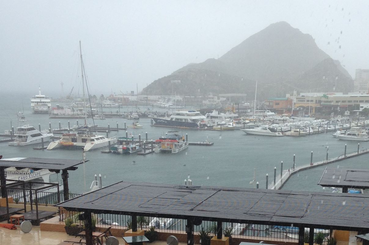
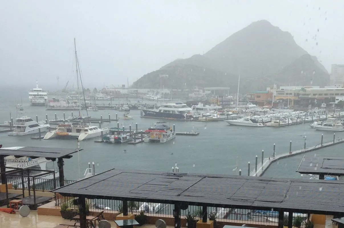
Expect more clouds, slick streets after downpours, and the kind of tropical squalls that pass through quickly—then sunshine—then another round.

Why September rain is normal here
We’re entering the peak of Cabo’s wet season and tropical-cyclone window (late August through September).
Local Civil Protection officials are reminding residents and visitors that this is the most “critical” time of the year for quick-changing weather, even when storms stay hundreds of miles away. Moisture plumes can still spark downpours and kick up surf.
How to enjoy Cabo this week (and stay safe)
- Watch the beach flags and listen to lifeguards. If you’ve ever wondered what the colors mean, here’s a quick refresher—and why the new signage at El Médano matters. We break it down in our guide to beach flags and lifeguard advice so you can read the shoreline at a glance.
- Avoid arroyos—period. Those “dry riverbeds” can turn into raging streams in minutes. We say it every season because it’s the #1 local rule: don’t drive through moving water and don’t enter closed low-lying roads. Our rainy-day game plan has indoor ideas plus the key safety reminders you’ll see locals follow.
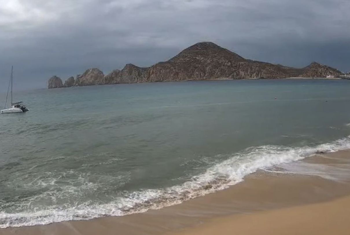
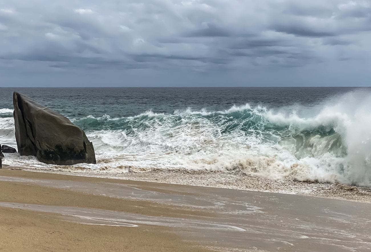
- Expect elevated surf and rip currents at times. Even distant systems can send long-period swells to Cabo’s Pacific side. If the ocean looks punchy or flags go red/black, make it a pool or Sea of Cortez-side day instead. We’ve covered how recent storms boosted surf and what that means for swimmers.
- Stay flexible with reservations. Some resorts publish weather or hurricane policies that allow date changes when the tropics misbehave. It’s worth a quick check with your hotel—some even offer credits if a named storm disrupts your stay.

Day-to-day: what to expect
Think “tropical pattern”: muggy mornings, pop-up showers, brief heavy cells in the afternoon or overnight, and stretches of perfectly usable beach time between rounds.
Roads can become slick from short, intense bursts; hotel teams may temporarily pause certain outdoor activities; boat tours may shuffle their schedules. Keep an eye on official channels for any localized advisories or temporary closures.


Track it like a pro
For the most accurate, no-drama updates, use these two sources:
- National Hurricane Center (NHC) for Kiko’s position, wind, and track—updated several times daily.
- Los Cabos Civil Protection for local advisories, road and beach notices, and shelter information during peak events.
Kiko is far offshore, but its moisture feed means Cabo is set for a stretch of wet, tropical days. Pack a light rain jacket, swap one beach day for a spa or taquería crawl, and keep our safety tips handy. With a little flexibility—and a quick check of the flags before you swim—you’ll still make the most of your Los Cabos getaway.
The Ultimate Cabo Trip Planner
When’s the best time to go? Our powerful month-by-month guide breaks down the weather, crowds, hotel rates, and whale watching seasons for your perfect trip.
Find Your Perfect Los Cabos Resort In Seconds
This simple, powerful tool was built by our on-the-ground experts to match you with the ideal resort for your specific budget and travel style.
Subscribe to our Latest Posts
Enter your email address to subscribe to The Cabo Sun’s latest breaking news affecting travelers, straight to your inbox.