
When you plan a fall vacation to Los Cabos, you understand that late September and early October are part of the active tropical storm season. Usually, this just means keeping a casual eye on the National Hurricane Center and preparing for a potential afternoon rain shower.
But right now, the Eastern Pacific is hosting a meteorological event that is anything but standard.
Currently, there are two massive, powerful storms swirling off the coast of the Baja peninsula: Category 1 Hurricane Odalys and Category 4 Hurricane Polo. What is highly unusual is their physical proximity to each other. They are close enough that local authorities and meteorologists are closely monitoring them for a rare, complex interaction known as the Fujiwhara Effect.

If you are packing your bags for Cabo, here is exactly what this rare double-hurricane phenomenon means, how it could alter the storms’ paths, and what you should expect when you arrive on the peninsula.
What is the Fujiwhara Phenomenon?
The Fujiwhara Effect sounds like something out of a science fiction movie, but it is a very real meteorological behavior.
It occurs when two separate tropical cyclones approach each other closely enough that their massive outer circulations begin to interact. According to Juan Carbajal Figueroa, commander of the Cabo San Lucas Fire Department, this interaction typically triggers when the centers of two storms close to within roughly 1,400 kilometers (about 870 miles) of each other.
Instead of moving independently along the steering currents, the two storms essentially get locked into a gravitational dance. They begin to orbit around a common center point between them.
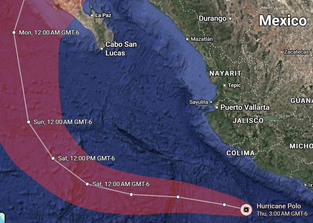
How Could This Impact the Storms’ Paths?
The biggest concern with a Fujiwhara interaction is that it makes forecasting incredibly difficult. The standard meteorological models struggle to predict exactly how the two storms will behave once they link up. Commander Carbajal Figueroa outlined a few potential scenarios that could play out:
1. The “Slingshot” Effect (Deflection)
The most common outcome is that the storms push against each other, drastically altering their trajectories. One storm might slingshot the other away, violently shifting a hurricane’s path completely off its initially predicted route.
2. The Weakening Phase
If the storms get too close, they can actually tear each other apart. The intense upper-level wind shear created by two massive storms fighting for atmospheric dominance can shred their structures, causing one or both cyclones to rapidly lose strength and downgrade into tropical storms.
3. The Merger
This is the rarest and most unpredictable outcome. In some scenarios, the larger, more powerful storm (in this case, Category 4 Polo) could completely absorb the smaller system (Odalys). While this merger can sometimes temporarily increase the intensity of the surviving storm, it typically causes the combined system to become broader and highly disorganized.
What This Means For Your Cabo Vacation
Currently, neither storm is projected to make a direct, catastrophic landfall on the southern tip of the Baja peninsula. However, their proximity and potential interaction will absolutely dictate the local environment this week.
Even if the Fujiwhara effect pushes the storms further out to sea, their combined massive wind fields are already generating severe impacts along the coastline.
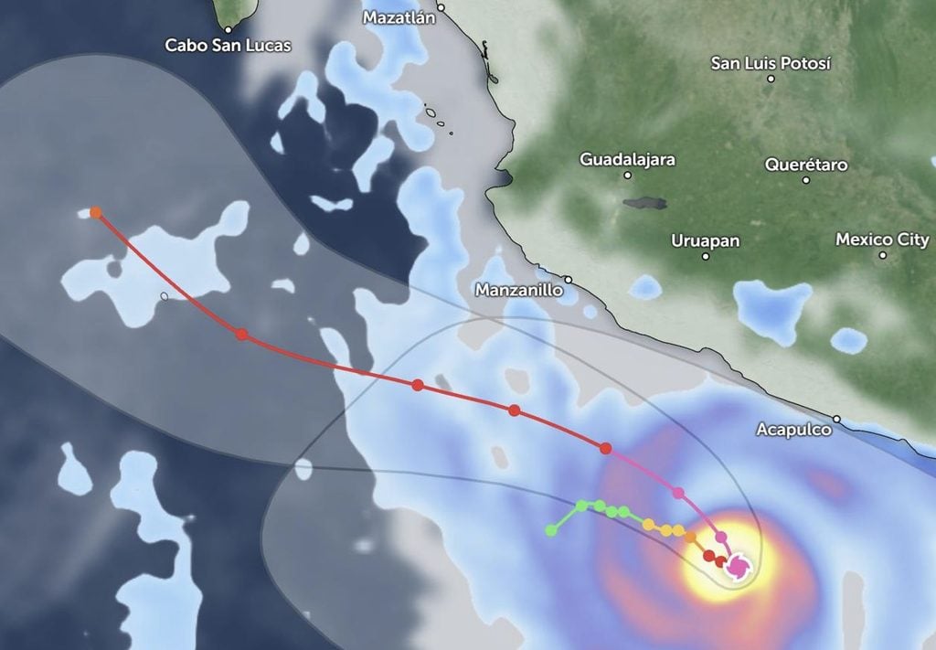
Extreme Ocean Swells
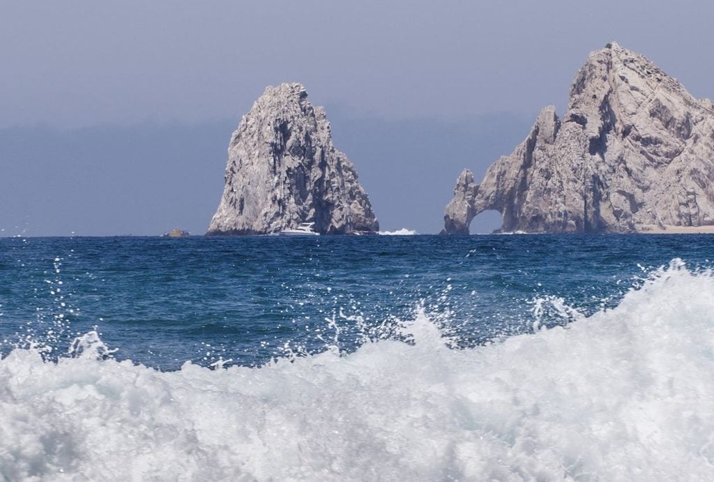
This is the most immediate danger for tourists. The churning energy from two massive hurricanes is pushing powerful, long-period southerly swells directly into the Cabo coastline. Do not expect to swim on the Pacific side of the peninsula this week. The Federal Maritime Terrestrial Zone (Zofemat) will likely have red or black flags flying on all exposed beaches due to violent surf, heavy shorebreaks, and massive rip currents. Even the protected coves of the Sea of Cortez, like Medano Beach, will likely experience elevated chop and suspended water activities.
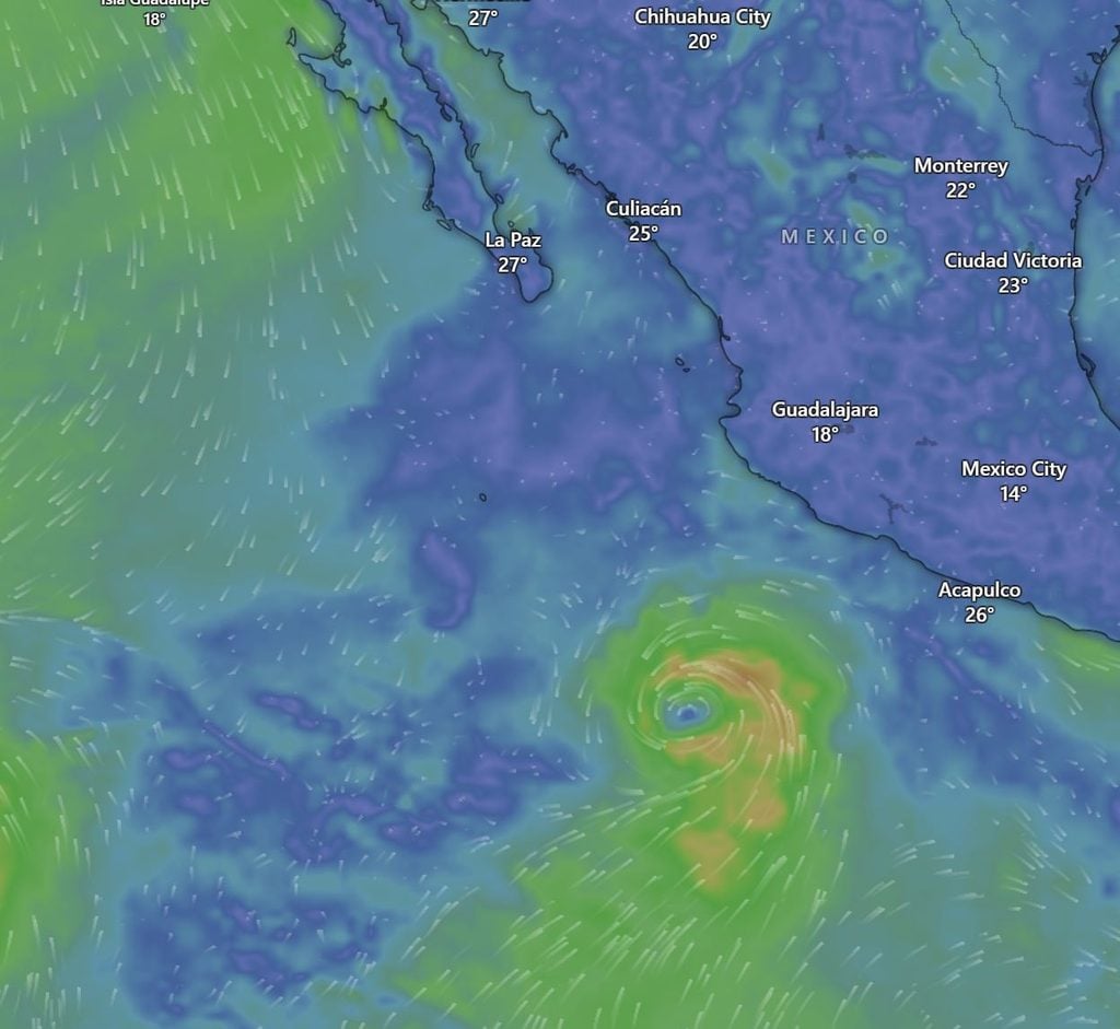
Sudden Shifts in Weather
Because a Fujiwhara interaction can alter a storm’s path, you need to prepare for sudden shifts in the local forecast. While Los Cabos might dodge the core of the storms, the outer bands could easily swing closer to the peninsula, bringing heavy, sudden downpours and intense, sticky tropical humidity.
If you are heading to Los Cabos, pack a light rain jacket, stick strictly to your resort pool rather than the ocean, and keep a close eye on the local weather updates. The Pacific is putting on a massive show right now, but it is best watched from the absolute safety of a luxury cabana.
Join Our Cabo Sun Community of 20,000+ Members
Get real-time answers to your travel questions from our team of local experts and thousands of fellow travelers directly inside our interactive group.
Find Your Perfect Los Cabos Resort In Seconds
This simple, powerful tool was built by our on-the-ground experts to match you with the ideal resort for your specific budget and travel style.
The Ultimate Cabo Trip Planner
When’s the best time to go? Our powerful month-by-month guide breaks down the weather, crowds, hotel rates, and whale watching seasons for your perfect trip.
Enter your email address to subscribe to The Cabo Sun’s latest breaking news affecting travelers, straight to your inbox.